The founding and the Common
Boston starts on a hilly, almost-island peninsula the Puritans reached in 1630. The street pattern of the old core and the green at its center both date from those first years, which is why a modern weekend still pivots around Beacon Hill, Downtown, and Boston Common.
A peninsula called Shawmut
In 1630 a fleet led by John Winthrop, carrying Puritans who held a charter from the Massachusetts Bay Company, settled on a hilly peninsula the local Massachusett people called Shawmut. The colonists renamed it Boston after the town in Lincolnshire many of them had left, and Winthrop served as the colony's first governor that same year.
The site was nearly an island, joined to the mainland only by a thin strip called the Neck and dominated by three summits the settlers named Trimountain — the root of today's Tremont Street. That cramped, water-bound geography shaped everything that followed: the crooked downtown streets, the early reliance on the harbor, and the centuries of landmaking that later doubled the city's footprint.
America's oldest public park
In 1634 the colonists bought the land for Boston Common from William Blackstone, an earlier solitary settler, and set the acreage aside for the benefit of the town. It is the oldest public park in the United States, and for more than a century it served plainly: common grazing ground for cattle, a militia training field, and a place of public assembly — and, less proudly, of public punishment.
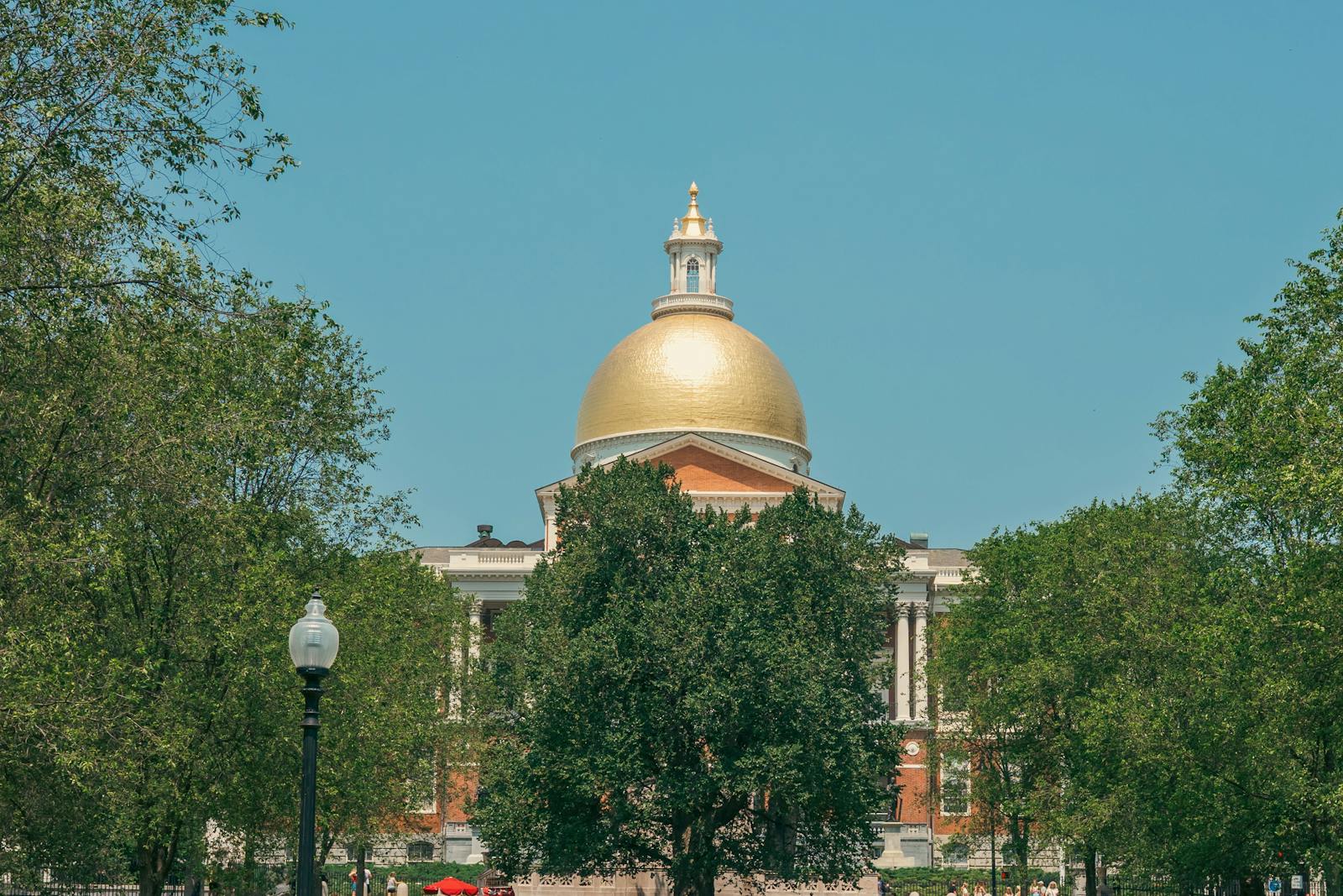
The Common still anchors the old city. Beacon Hill rises along its northern edge, the Massachusetts State House looks down from above it, and the Freedom Trail begins on its paths. Reading a Boston map outward from this green is the simplest way to make sense of where everything else sits.
Reviewed source trail
- Boston Common — Boston.gov — checked 2026-06-24
- Boston Common — The Freedom Trail — checked 2026-06-24
- The Puritans — Boston National Historical Park (NPS) — checked 2026-06-24