Reclaimed land and the modern waterfront
Much of the Boston a visitor walks today did not exist at the founding. The city kept running out of room and answered by making land — most famously the Back Bay — a habit that runs through its parks, its highways, and its newest district on the harbor.
Filling the Back Bay
The Back Bay was once exactly that — a shallow tidal bay west of the original peninsula. Starting in the late 1850s, the city undertook one of the largest landfill projects of the 19th century, hauling gravel by a dedicated railroad from Needham to fill the flats. By 1881 the made land reached Massachusetts Avenue, with the final western blocks completed in the early 1880s.
What rose on it was deliberate in a way the old crooked downtown never was: the straight, French-inspired grid of Commonwealth Avenue and its cross streets, lined with brownstones. Many of the Brahmin families who had lived on Beacon Hill moved into the new district, and it remains one of the most coherent Victorian neighborhoods in the country.
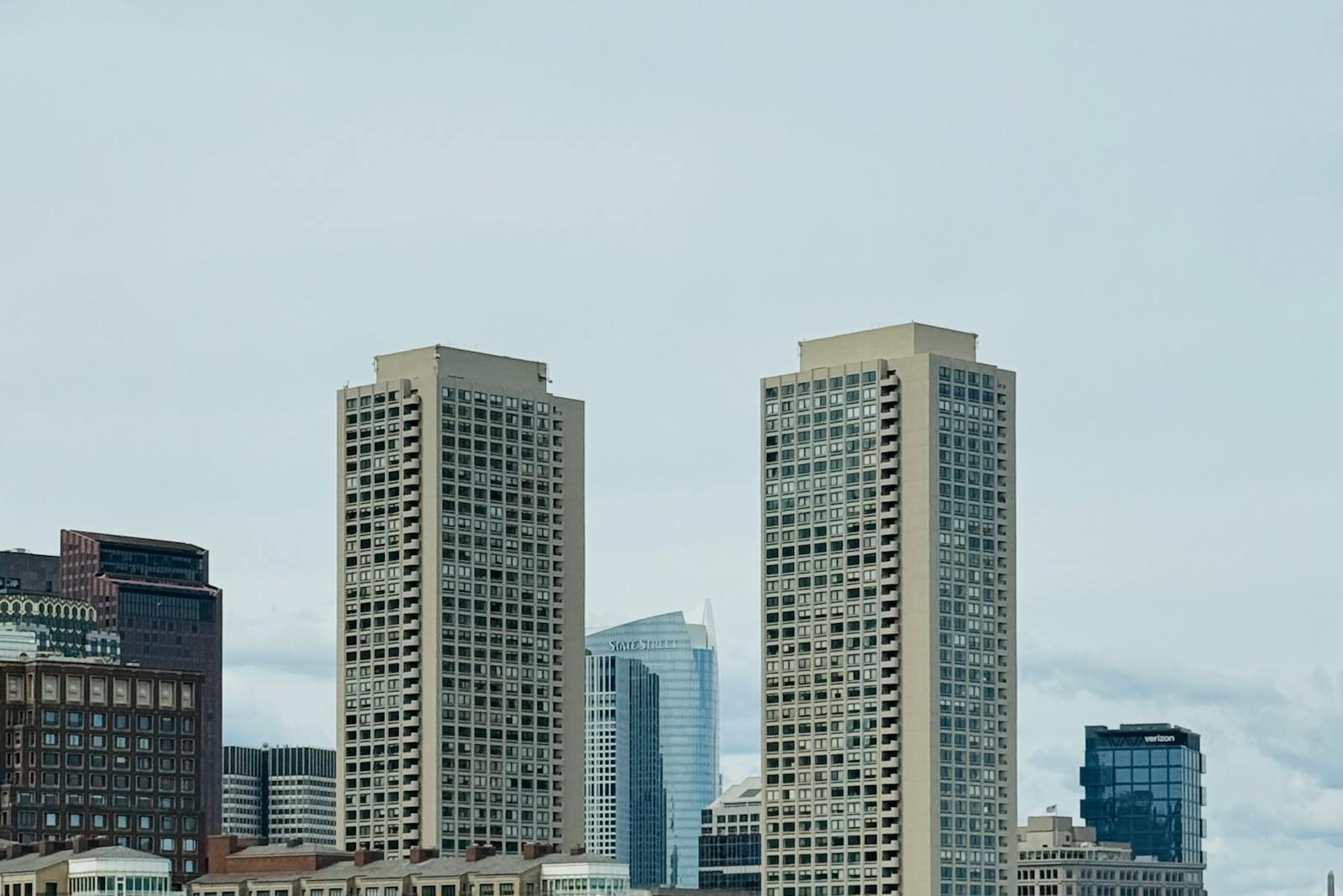
Parks, a buried highway, and the Seaport
The made land came with a green answer. In the 1890s Frederick Law Olmsted laid out the Emerald Necklace, a chain of connected parks running from the Back Bay Fens outward, turning a drainage problem into a landscape. A century later the Big Dig, finished in 2007, put the elevated Central Artery underground and reconnected the downtown to the waterfront with the Rose Kennedy Greenway on top.
The newest chapter is the Seaport, built out on filled harbor land into a district of offices, hotels, and the convention center. It is the same old Boston move — run out of room, make more — and it is why a modern trip can be planned around a waterfront that is, in places, younger than the people visiting it.
Reviewed source trail
- Overview: Development of the Back Bay — Back Bay Houses — checked 2026-06-24
- Emerald Necklace Conservancy — park history — checked 2026-06-24
- How Boston Lost Its Hills — History of Massachusetts — checked 2026-06-24